Access base
Use BrezovicaThe strongest published location reference in the brief.
- Postal address
- Brezovica bb, 38157 Brezovica
- Route reference
- R 115 Road appears in one fetched listing
- Nearest-stop details
- Not published

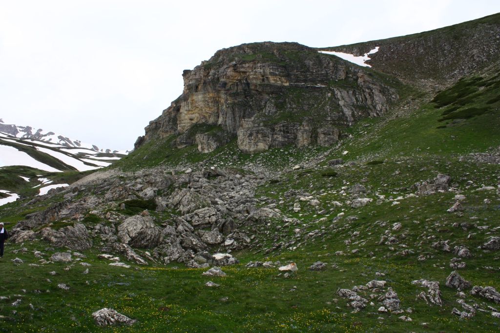
Šar Planina National Park is presented in the source material as a southern mountain massif whose defining fact is altitude: its peaks rise above 2,000 metres. That framing matters for visitors, because this is not a single-ticket monument or a short urban attraction. It is a mountain landscape associated with mountaineering and skiing, and the public visit listing supplied in the brief suggests allowing more than three hours. Published prices, online booking and detailed route logistics were not found, so practical planning depends on contacting the administration office and checking current local conditions before you go.
In Serbia's national-park lineup, Šar Planina stands for high ground rather than river scenery, monastery landscapes or low hills. The source material places it among the country's headline protected mountain areas and identifies one physical fact above all others: peaks over 2,000 metres. That makes the park feel expansive and weather-shaped, with a mood that suits people who want time outdoors and do not mind planning around terrain and conditions. It reads less like a stop on a city itinerary and more like a mountain destination that rewards preparation.
The park's speciality is not a single landmark but the combination of altitude and mountain use. The editor brief and main source both frame Šar Planina as a place for mountaineering and skiing, and that description is grounded by the repeated emphasis on peaks above 2,000 metres. In practical terms, that means visitors should think in terms of exposure, weather, effort and seasonal conditions rather than a short sightseeing circuit. Within Serbia's wider mountain offer, Kopaonik National Park is the better-known ski benchmark and Fruška Gora National Park is the lower, gentler contrast; Šar Planina is presented here as the southern high-mountain counterpart.
The most realistic way to approach Šar Planina National Park is to treat it as a mountain day, not a quick roadside stop. The fetched public listing in the brief gives a visit duration of more than three hours, which is a useful baseline rather than a complete route plan. If you are coming for walking or mountaineering, build in time for approach, changes in weather and the slower pace that comes with high ground. If you are coming for skiing, focus first on current local conditions, because the supplied source base confirms the park's ski identity but does not publish the detailed live operating facts many winter travellers will want.
For first-time visitors planning a broader Serbia itinerary, Šar Planina works best when you already know your transport and weather margins. If you want a softer mountain contrast elsewhere in the country, the tone is different from Fruška Gora National Park; if you want another well-known high-mountain reference, Kopaonik National Park is the closer comparison. For seasonal thinking beyond this single park, the wider context in Best Time to Visit Serbia can help you choose the right part of the year.
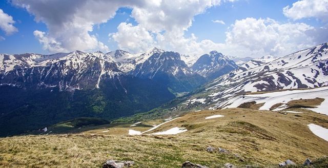
Šar Planina National Park is not presented in the supplied source base as an urban attraction with a simple city-center walk-up route. The most practical published address is Brezovica bb, 38157 Brezovica, and one of the fetched listings also references the approach via R 115 Road. That road number is the only numbered route detail available in the material provided in the supplied material.
Local bus, tram or trolley line numbers serving the park directly were not published in the source set, and walking directions from a nearest landmark with a verified minute count were also not published. Taxi and private-transfer use may be practical in real travel planning, but typical fares were not supplied. If you are building the journey independently, use Brezovica as your map target, then cross-check onward travel options with Serbia Transit Search: Buses, Trains & Practical Route Planning and confirm local details before departure.
Parking information for specific trailheads or ski access points was not published in the supplied corpus, so drivers should not assume signed lots, tariffs or winter maintenance standards without confirming locally.
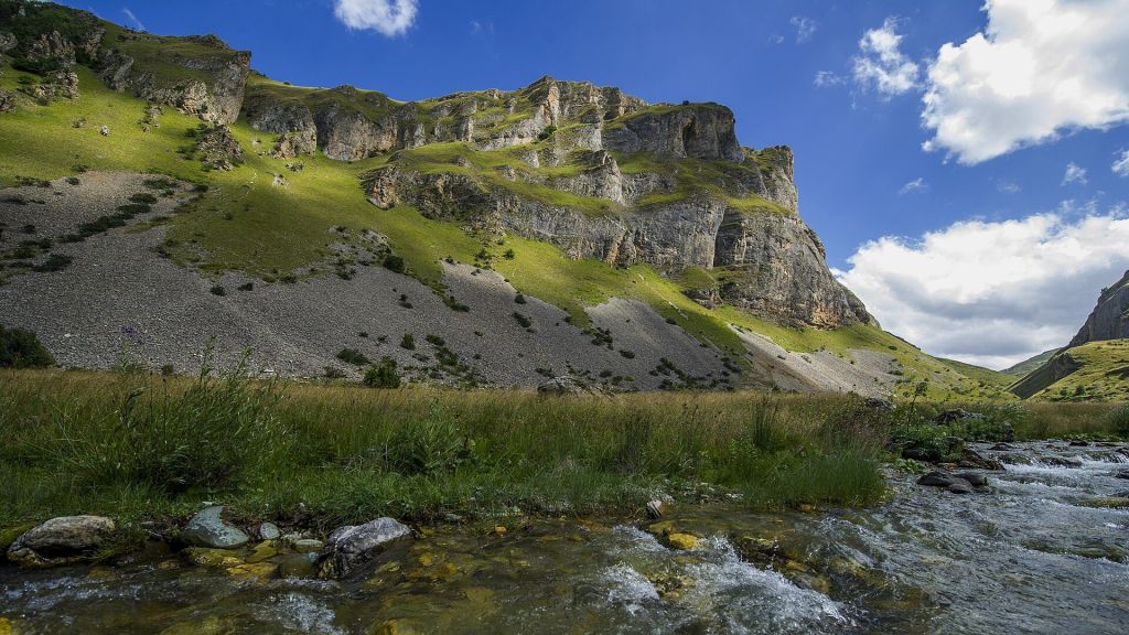
The right time depends on whether you are coming for hiking or skiing. The source material confirms both mountain uses but does not publish route calendars, snow reliability data or seasonal opening schedules. In general terms, visit in stable daylight conditions if your aim is walking or mountaineering, and look to the snowy part of the year if skiing is your priority. Because this is a high mountain massif, the practical question is less about a single month and more about present conditions on the ground.
For that reason, reservation advice, guided-departure timing and weekend crowd patterns are not stated as fixed facts here. They were not published in the supplied source set. Check current local conditions before travel, especially if your schedule is tight or weather dependent.
Expect a mountain environment rather than a heavily interpreted attraction. The source base supports the park's identity as high terrain used for mountaineering and skiing, so the visit experience is shaped more by altitude, weather and personal preparation than by set-piece sightseeing. Noise levels, food-service coverage, accessibility facilities, marked family routes and visitor-center interpretation were not described in the supplied material, so travellers who need those details should confirm them before they go.
Dress for exposure, changing conditions and time outdoors. Bring water, layers, charged navigation tools and a plan that matches your experience. Families with older children who are used to walking outdoors may find the mountain rewarding, but the source set does not publish child-focused facilities or accessible-route information, so it should not be assumed. If you want a simpler lowland nature outing within Serbia, other destinations in the wider park network can be easier to plan at short notice.
Sources cross-checked for this guide:
Last checked: 15 August 2026. Fact-checked by the editorial team led by Patrick against the official sources above, and reviewed before publishing.
The confirmed planning facts are useful but limited. These cards separate what is known from what is not published.
The strongest published location reference in the brief.
Useful for current practical questions.
Several volatile visitor facts were not available in the supplied source set.
This block reflects only the confirmed facts supplied in the brief. It does not infer route access, ski operations or visitor services beyond the published evidence.
These are the fetched opening hours for the administration contact cited in the brief, not guaranteed hours for trails, lifts or every on-mountain facility.
Trail access, ski operations, parking hours and route-specific opening times were not published in the supplied source set.
Tell us where you want to go and how you travel. We reply within two working days with a tailored plan.
Map reference based on the published Brezovica address used in the supplied operational listings.
Because the published source base is limited, the most useful named points are the practical access and planning references that appear in the supplied material. Where prices, booking rules or route-specific hours were not published, the cards say so directly.
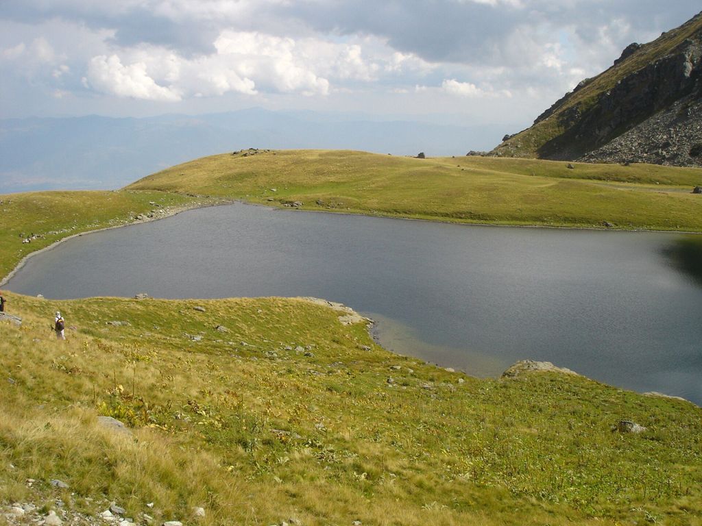
Brezovica
The clearest named base in the supplied operational listings.
Use Brezovica when you need a concrete map target for the park. The full postal address published in the brief is Brezovica bb, 38157 Brezovica.
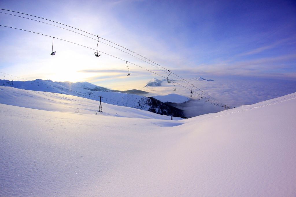
Šar Planina National Park administration
The most useful planning contact before travel.
The public facts in the brief point to the Srbijašume administration contact as the best-supported source for checking current practical matters before you go.
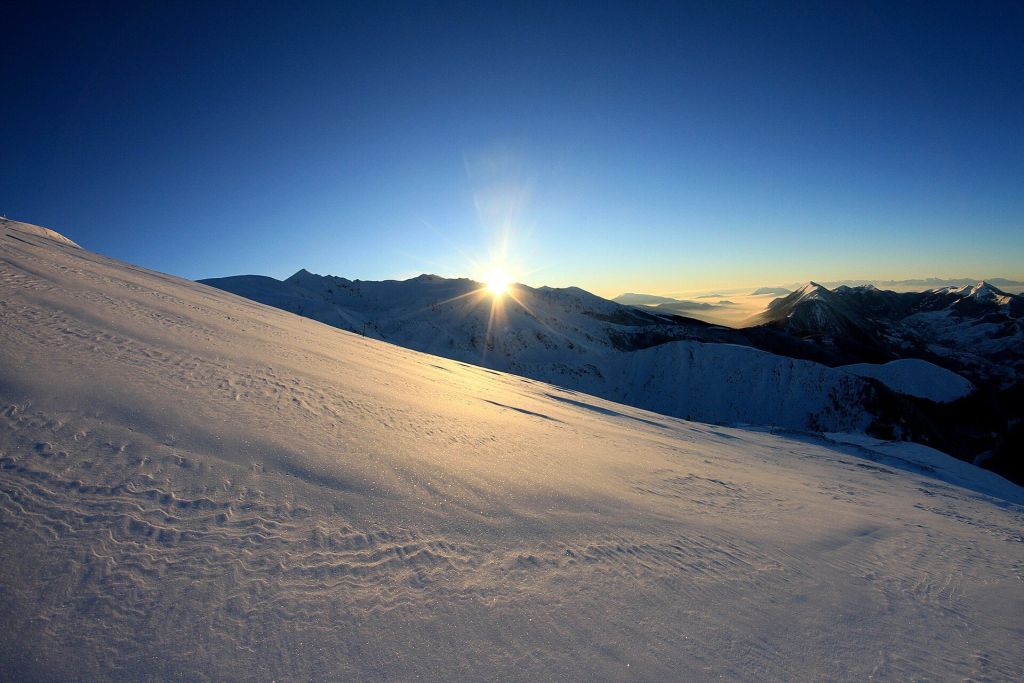
Brezovica ski area
Relevant if your main goal is snow rather than a general mountain stop.
The editor note identifies Šar Planina as a skiing destination. The supplied source set did not include verified lift prices, slope-by-slope opening hours or reservation rules, so winter visitors should confirm these locally before setting out.
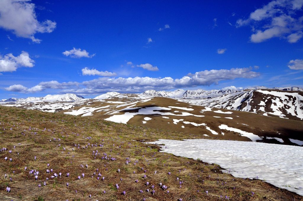
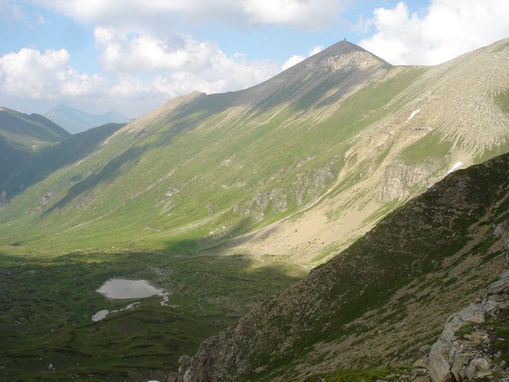
High-mountain terrain of Šar Planina
The core landscape for walkers and mountaineers.
The main source defines the park through its peaks above 2,000 metres. For many visitors, that higher terrain is the real reason to come, but specific route names, durations and waymarked trail details were not published in the supplied corpus.
Brezovica bb, 38157 Brezovica
Brezovica
High-mountain terrain for mountaineering and skiing
Not published
Depends on hiking versus skiing conditions
Not found
Mon-Fri 08:00-16:00; Sat-Sun closed
+381 11 711 34 10 / +381 11 711 27 70; sumarstvo@srbijasume.rs
http://www.srbijasume.rs
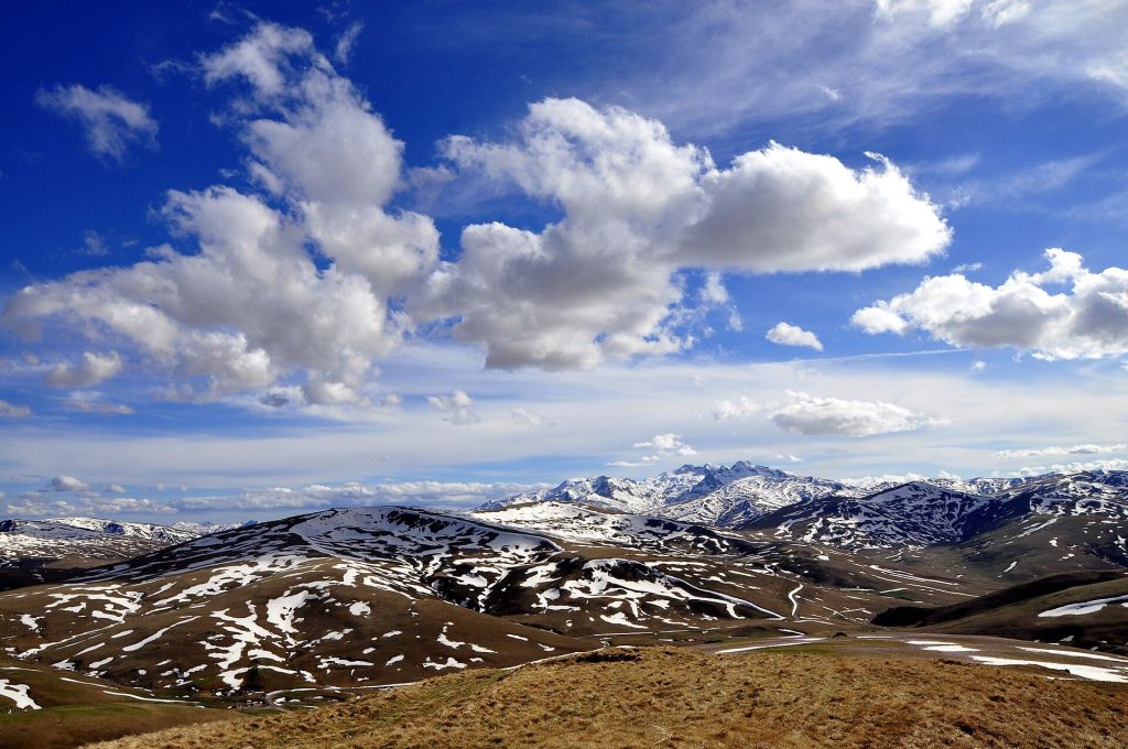
The confirmed identity of Šar Planina is high-mountain terrain above 2,000 metres. Even when the source base does not publish route details, that altitude alone is enough to justify layers, water, navigation backup and a weather-aware plan.
No verified ticket prices, online booking link, confirmed reservation rule, route timetable, parking tariff or direct public-transport line list was present in the supplied source set in the supplied material.
The fetched public listing supplied in the brief gives a visit duration of more than three hours. Use that as a minimum planning signal rather than as a full route promise.
The supplied sources define it as a southern mountain massif with peaks above 2,000 metres and present it as a destination for mountaineering and skiing.
The fetched listing in the brief gives a visit duration of more than three hours. Because this is a mountain landscape rather than a single attraction, many visitors will want longer, but route-by-route timings were not published.
No verified online booking page was found in the supplied source set, and a reservation requirement was not published. Contact the administration office if your timing is weather dependent or you need current local guidance.
No published prices were provided in the source material used for this guide.
The supplied operational listings give the phone numbers +381 11 711 34 10 and +381 11 711 27 70, the email sumarstvo@srbijasume.rs, and the official website http://www.srbijasume.rs.
Get help combining Šar Planina with cities, other national parks and realistic transport time across Serbia.
Stay connected in Serbia