Five separate destinations rather than one shared site

Serbia has five national parks, each built around a different landscape and style of trip. Tara is the western forest-and-wildlife choice beside the Drina. Fruška Gora places low green hills, monasteries, vineyards and thermal springs close to Novi Sad. Kopaonik combines high-mountain nature with the country’s principal ski area. Đerdap follows the Danube through the Carpathian massif, while Šar Planina is shaped by peaks above 2,000 metres and a mountaineering and skiing tradition.
They do not share one entrance, timetable or booking system. A practical trip begins by choosing a region, checking local conditions and allowing enough time for the mountain or river corridor itself.
Tara rises in western Serbia beside the Drina, where extensive forest is the defining feature rather than a backdrop to a resort. The park protects old-growth fir forest and habitat used by brown bears. That wildlife presence matters most as a reason to move carefully through the landscape: a visit is about observing tracks, forest structure and river-facing terrain, not trying to approach wild animals.
The park suits travellers who want a forest-based stay with time for walks and viewpoints rather than a quick roadside stop. Its position also makes it a natural focus for a wider western Serbia route, but the mountainous setting rewards conservative daily plans. Distances that look short on a map can still involve winding approaches and changes in elevation.
Accessibility is uneven across mountain parks, although an accessible trail near Mitrovac is a useful exception within Tara. Confirm the current condition and exact access point before relying on it. The detailed Tara National Park guide covers the wider landscape, Banjska Stena and the Drina Canyon for travellers building a longer stay.
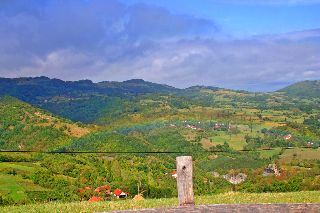
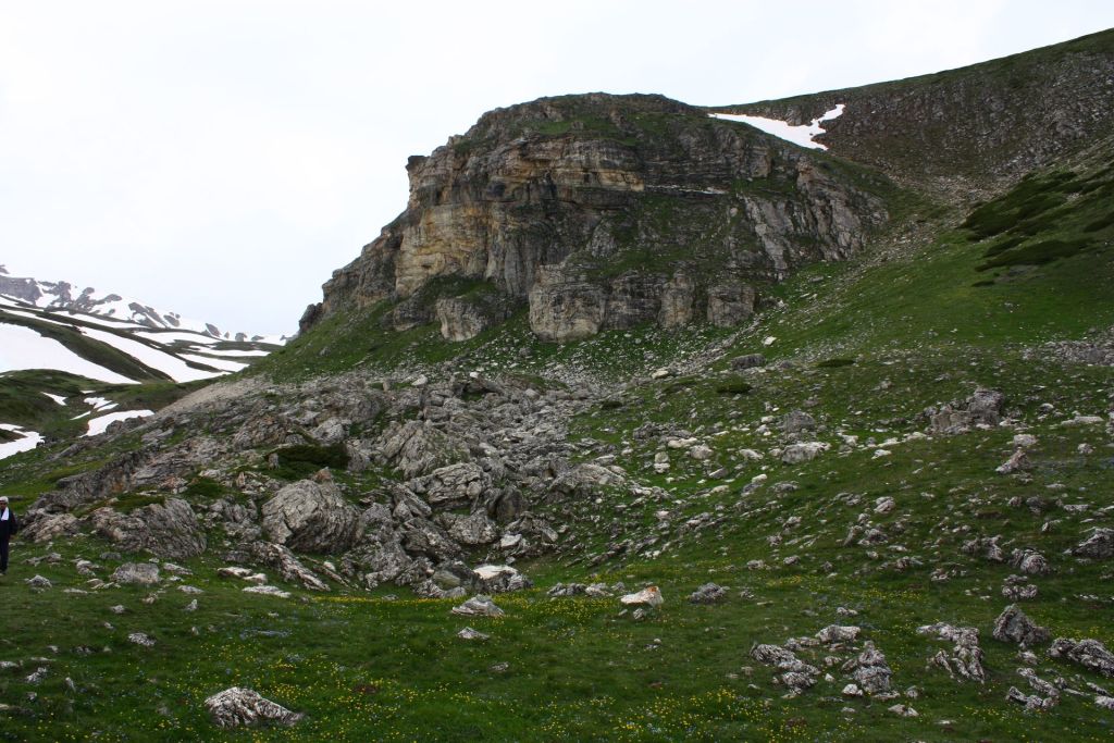
Fruška Gora interrupts the plains near Novi Sad with a long band of gentle green hills. Its shape reflects a much older landscape: the northern part of present-day Serbia was once covered by the Pannonian Sea, and Fruška Gora remained as an island-like upland when the water receded. The result is a national park that feels geographically different from Serbia’s higher southern and western mountains.
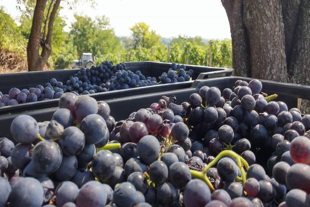
The practical appeal lies in the combination of nature and cultural stops. Sixteen monasteries are distributed through the hills, while vineyards and thermal springs add reasons to slow the route down. This is not a single circuit in which every monastery, cellar and spring can be covered efficiently. A better approach is to choose one cluster and leave space for forest roads, a short walk or a pre-arranged winery visit outside the protected core.
Because the park lies near Novi Sad, it works well for travellers who want countryside without committing the whole trip to a remote mountain base. The broader Fruška Gora National Park guide explains how monasteries, hiking and wine fit together across the area.
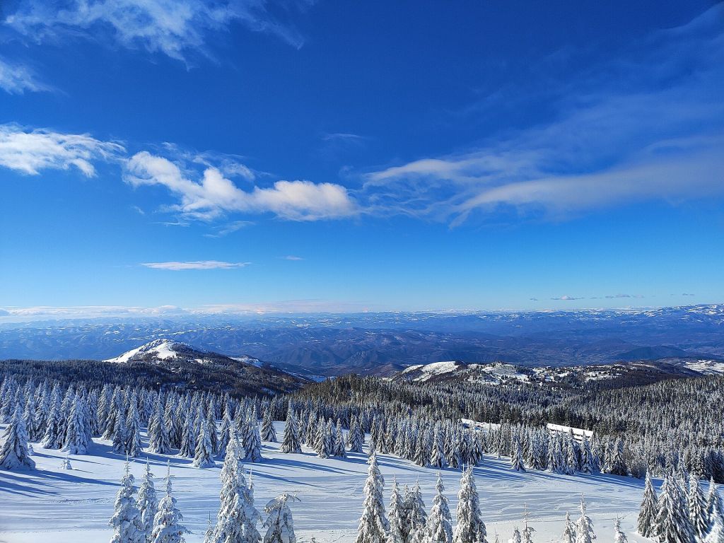
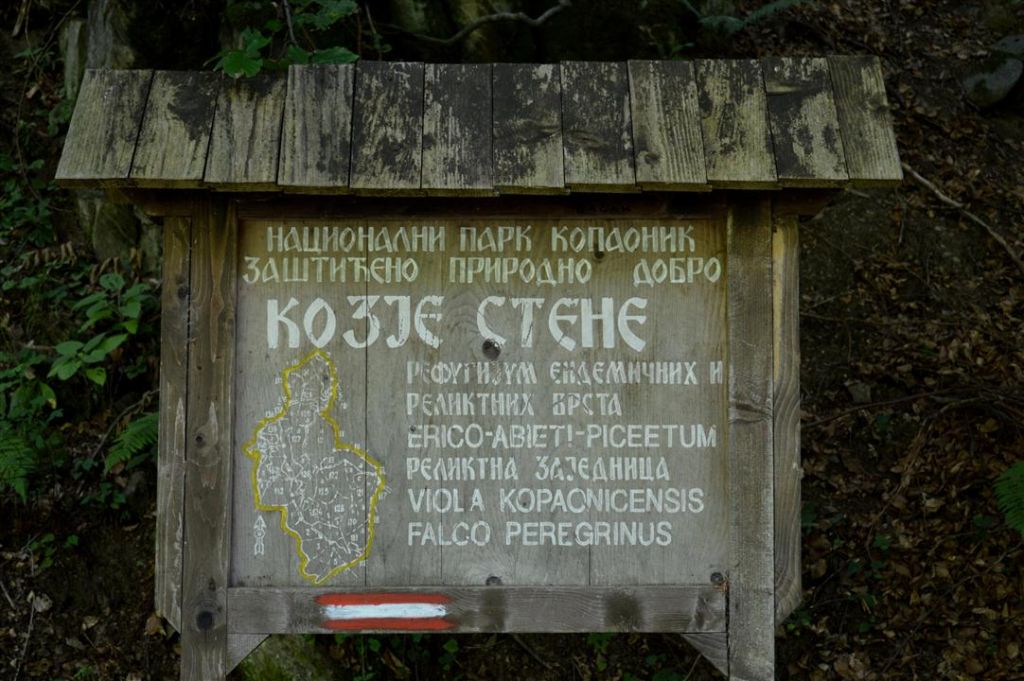
Kopaonik is Serbia’s largest mountain and the country’s principal ski destination. More than 60 kilometres of ski trails give the winter landscape an organised resort dimension that the other national parks do not share at the same scale. The mountain is also associated with around 200 sunny days a year, although that annual figure should never replace a current mountain forecast when planning lifts, skiing or exposed walks.
The national park and ski area overlap in the traveller’s experience but are not interchangeable. Ski infrastructure provides a clear winter focus, while the protected mountain landscape remains relevant beyond the snow season. Decide early whether the trip is primarily for skiing, a warm-season mountain break or a wider nature stay, because each requires different equipment and a different base.
Published national material does not provide one park-wide admission price, opening schedule or reservation method. Lift operations, accommodation and individual activities therefore need separate checks. The Kopaonik National Park guide gives additional context for skiing and summer hiking on the mountain.
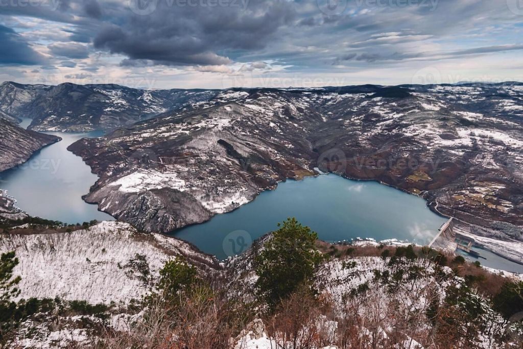
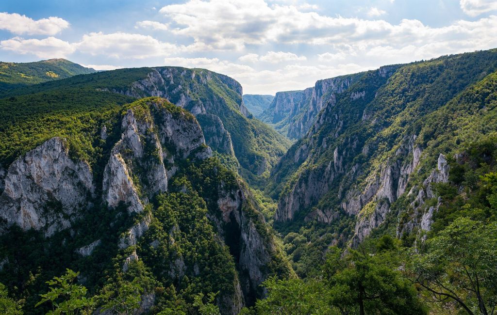
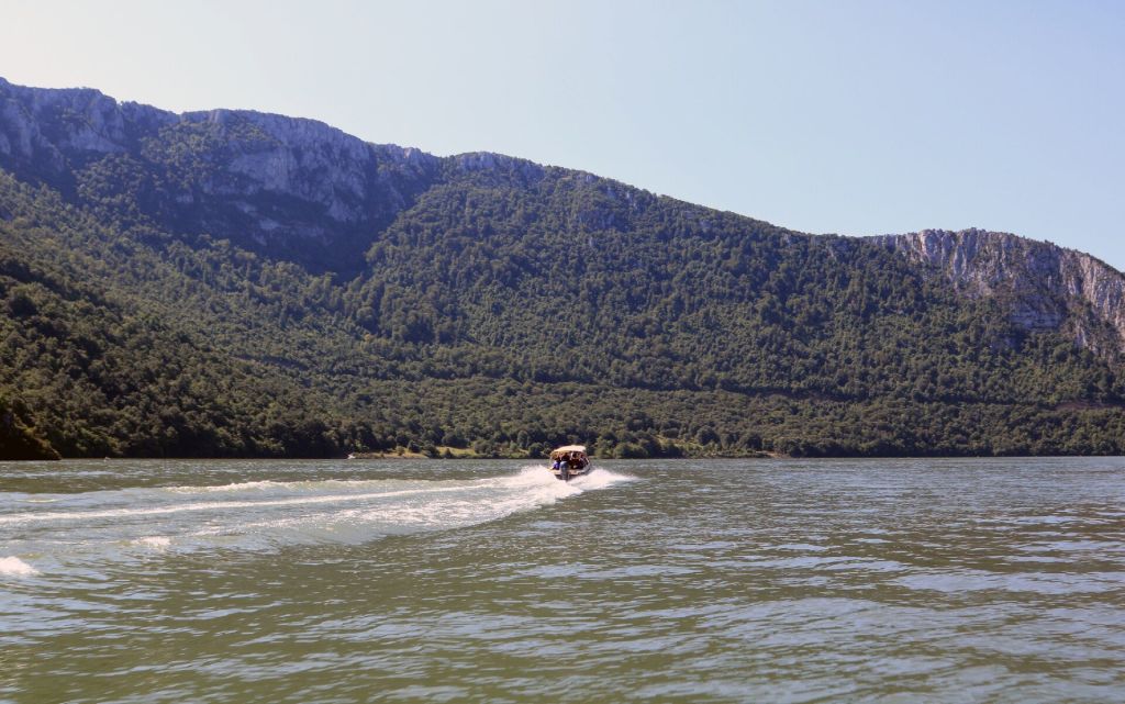
Đerdap is shaped by the point where the Danube presses through the Carpathian massif, forming Europe’s largest river gorge. The protected corridor extends for roughly 100 kilometres along the river’s right bank, from Golubac Fortress towards the Roman site of Diana near Kladovo. It is a linear park, so the experience unfolds along the river rather than around one central trailhead.
The scale changes noticeably along this section of the Danube. Near Golubac the river reaches a width of up to seven kilometres, while the gorge narrows to about 150 metres at its tightest point. Those measurements explain why a route through Đerdap alternates between broad water views and compressed passages between steep landforms.
Travellers can use Golubac, Donji Milanovac or Kladovo as reference points for different sections, but should resist treating the entire corridor as a short outing. Road time, protected access rules and archaeological stops all shape the day. The full Đerdap National Park guide develops the river route, while Golubac also connects with the EuroVelo 6 cycling corridor.
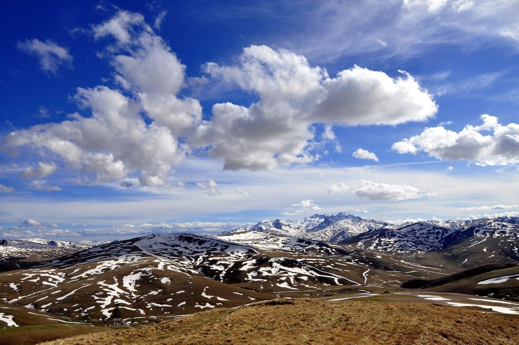
Šar Planina forms a southern mountain massif with peaks rising above 2,000 metres. The altitude gives the park a clear high-mountain identity, and its established visitor themes are mountaineering and skiing. It is the choice for travellers whose main objective is elevated terrain rather than a monastery circuit, low hill walking or a drive along a river gorge.
That height has practical consequences. Route length alone does not describe the effort of a mountain day, and plans need to account for ascent, exposure, seasonal conditions and the time required to return. The supplied national information does not provide a unified trail schedule, admission price or central booking link, so current local arrangements must be checked for the specific activity.
International visitors should define the intended route and support needs before departure rather than arriving with only the name of the massif. The dedicated Šar Planina National Park guide provides a focused starting point for hiking and skiing decisions.
A national-parks trip in Serbia works better as a regional route than as a race through all five protected areas. Fruška Gora belongs naturally with Novi Sad and Vojvodina. Tara anchors a western Serbia journey. Đerdap follows the Danube east from Golubac towards Donji Milanovac and Kladovo. Kopaonik and Šar Planina each require their own mountain approach. Travellers using public transport should research the town or resort that acts as the base, not search only for the park name; the practical principles in getting around Serbia help with that first stage.
Match the season to the intended activity. Skiing plans belong to the operating winter season and need current snow and lift checks. Hiking and mountaineering require route conditions appropriate to the traveller’s equipment and experience. Fruška Gora’s monasteries, vineyards and thermal springs can support a less strenuous itinerary, but individual institutions and businesses may keep their own schedules. Serbia-wide seasonal context is covered in the guide to the best time to visit Serbia.
Protected-area etiquette begins with staying on permitted routes, carrying out waste and avoiding disturbance to animals. Brown bears live in Tara, but their presence is not an invitation to search for close encounters. At Fruška Gora’s monasteries, treat courtyards and churches as religious spaces. In Đerdap, do not assume that every cave, viewpoint or protected path is open for an independent visit.
Accessibility varies considerably. The accessible trail near Mitrovac in Tara shows that adapted access exists in at least one location, but it does not make the wider mountain park uniformly step-free. Before travelling, ask about the exact surface, gradient, parking connection and condition of the intended route. Similar confirmation is needed for visitor centres, viewpoints and heritage sites elsewhere.
Leave slack in every outdoor day. Mountain roads, elevation changes and a long linear park such as Đerdap can turn a short map distance into a substantial part of the itinerary. A focused day with one principal walk, landscape section or cultural cluster is usually more workable than combining several distant objectives.
Serbia’s national overview presents the five protected areas as a collection, not as one venue with shared operations.
Operational details can change independently between parks and individual facilities.
Core landscape facts are drawn from the National Tourism Organisation of Serbia’s Experience Serbia material and its national-parks collection. Operational details should be reconfirmed for the individual park and activity.
The parks extend from Fruška Gora in the north and Đerdap in the northeast to Tara in the west and the higher Kopaonik and Šar Planina massifs farther south.
Each park has a distinct geographical focus. Published nationwide information does not provide unified opening hours, prices or one reservation system for the collection.
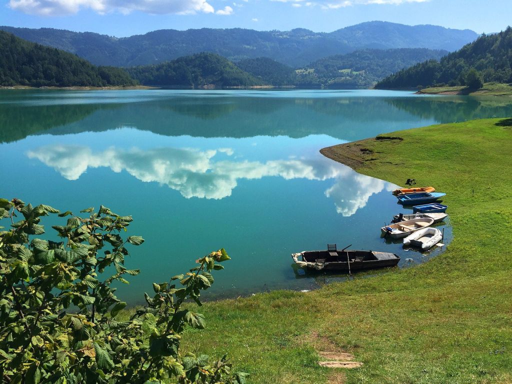
Tara National Park
Forested western mountain beside the Drina
Choose Tara for extensive forest, old-growth fir stands and the protected habitat of brown bears. The park works best as a dedicated western Serbia stay rather than a brief stop between distant regions.
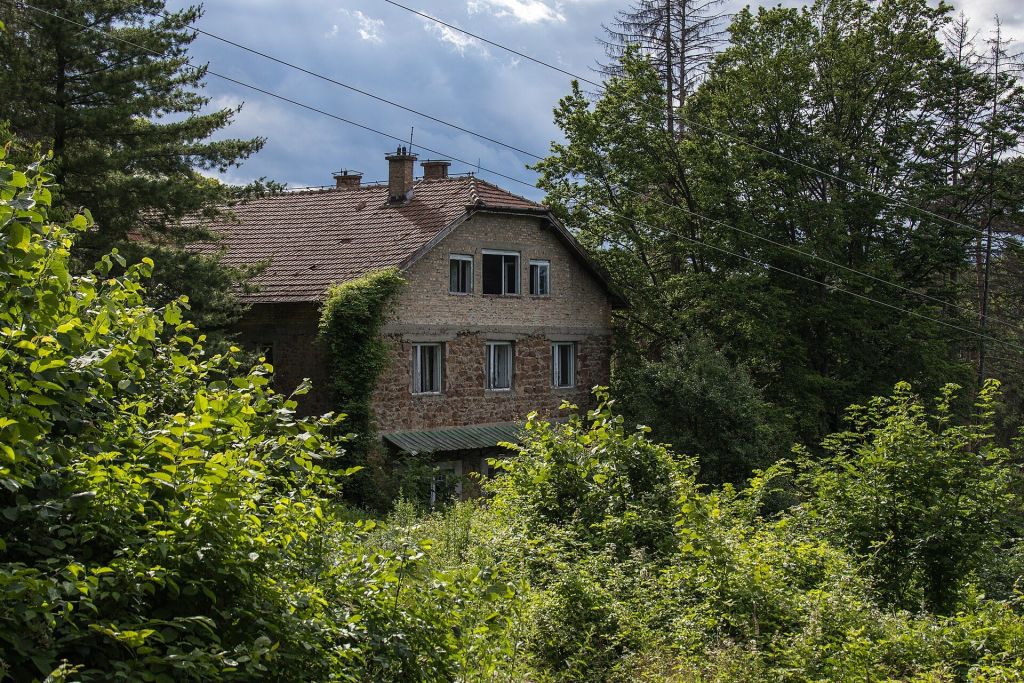
Fruška Gora National Park
Gentle hills, monasteries and vineyards near Novi Sad
Fruška Gora combines low wooded hills with 16 monasteries, vineyards and thermal springs. Its proximity to Novi Sad makes it the most natural park choice within a city-and-countryside itinerary in Vojvodina.
Kopaonik National Park
High mountain and Serbia’s principal ski destination
Kopaonik combines protected mountain terrain with more than 60 kilometres of ski trails. Winter visitors should separate park information from live lift, snow and resort operations when organising the trip.
Đerdap National Park
The Danube through the Carpathian massif
Đerdap follows a long river corridor from Golubac towards Kladovo. Broad Danube reaches, the narrow gorge and protected cultural sites make route sequencing more important than the number of stops.
Šar Planina National Park
Southern massif with peaks above 2,000 metres
Šar Planina is oriented towards mountaineering, skiing and high-elevation terrain. Visitors need a route-specific plan that reflects ascent, seasonal conditions and the support required for the chosen activity.
Five separate destinations rather than one shared site
Not published
Not published
Not published
None; the parks are in different regions
Varies by park and route; confirm locally
Tara, Fruška Gora, Kopaonik, Đerdap and Šar Planina are spread across Serbia. Start with the part of the country already on the itinerary, then decide whether the priority is forest, low hills and monasteries, skiing, a river gorge or high-mountain terrain. This avoids losing outdoor time to long transfers between unrelated regions.
Kopaonik and Šar Planina both have a skiing identity, but a national-park listing is not a live snow report. Check the forecast, operating status and local access information shortly before travel. Carrying a fixed winter itinerary into changing mountain conditions can leave too little room for safe alternatives.
Some protected viewpoints, caves and hikes in Đerdap have required arrangements with the park administration rather than fully independent access. Treat three days ahead as a minimum planning margin, then confirm the current rule for the exact route. A single year-round reservation method is not published in the national overview.
In Tara, keep distance from wildlife and never treat a brown-bear habitat as a guaranteed sighting location. On Fruška Gora, monastery grounds are active religious places rather than outdoor exhibits. Quiet behaviour, modest clothing and attention to any local photography restrictions make the mixed nature-and-heritage route easier for everyone using it.
Serbia has five national parks: Tara, Fruška Gora, Kopaonik, Đerdap and Šar Planina.
The parks are in different regions, so covering all five quickly would involve substantial travel. Most visitors will get more outdoor time by choosing one park, or two that fit a longer regional itinerary.
Fruška Gora is the natural choice because its gentle hills, monasteries and vineyards lie near Novi Sad. Select a limited cluster of stops rather than trying to cover the whole park in one outing.
A nationwide park ticket or shared price is not published. Individual visitor facilities, attractions, tours and activities may apply their own charges.
There is no single reservation rule for the whole park, but some protected viewpoints, caves and hikes may require advance arrangements. Confirm the exact route and allow at least three days for any required coordination.
Tara provides habitat for brown bears, but a sighting is neither promised nor something to pursue at close range. Follow local guidance, avoid disturbing wildlife and keep food managed responsibly.
Accessibility is not uniform. An accessible trail has been identified near Mitrovac in Tara, but travellers should confirm its current surface and access details and ask separately about every other route or facility.
Stay connected in Serbia