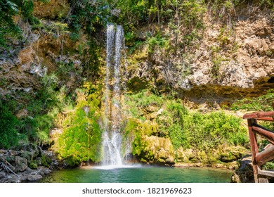
About 4 km south of Topli Do, Stara Planina, Pirot area, Serbia

Piljski Donji Waterfall lies in the Stara Planina area of southeastern Serbia, about 4 km south of Topli Do. Official local tourism material presents the approach as signposted and suitable for an easy walk with a moderate ascent rather than a technical trek. The waterfall is best known for being described as the second-highest in Serbia. The overall feel is rural and mountain-based: you begin with a village approach, continue on foot, and rely on daylight, weather, and trail conditions more than on built visitor infrastructure.
The defining experience here is not a fenced viewpoint or a quick pull-off. Piljski Donji Waterfall is visited as a village-to-waterfall walk, with wayfinding that starts in Topli Do and a route described by Tourism Organization of Pirot as easy but steadily uphill. That matters because the destination is tied to the rhythm of the mountain day: proper shoes, enough time, and realistic weather judgment count more than formal opening times. If you are already exploring higher parts of the massif, Babin Zub gives a different Stara Planina landscape, while Piljski Donji stays focused on the walk itself and the waterfall at the end.
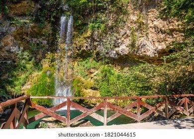
The closest named starting point in the available source set is Topli Do. Tourism Organization of Pirot states that the waterfall is about 4 km south of the village and that the route is signposted, with easy walking and a moderate ascent. A separate organized program gives the clearest timing context: it schedules the hike and waterfall visit for 10:00-15:00 from Topli Do. Precise independent walking minutes are not published. No local bus line numbers, taxi fare guidance, or parking details were found in the official and cited material for the final approach, so the safest plan is to reach Pirot first, then arrange onward transport or confirm current access directly with TO Pirot at 010/320-838 before setting out.
The clearest published season is April to October, which is the period stated for the organized TO Pirot program. For independent visitors, daytime matters more than any formal opening schedule because no on-site hours are published. Start early enough to complete the walk without rushing, and avoid assuming you can rely on late-day services near the trail. If you are building a longer mountain route, the broader Stara Planina guide is the best place to judge how this hike fits with road time and other stops across the massif. After rain or shifting mountain weather, confirm local conditions before you go rather than treating the route as a guaranteed casual stroll.
Expect a mountain outing rather than a managed attraction complex. The available official descriptions focus on the signposted approach, the character of the walk, and the waterfall itself, not on ticket desks, staffed visitor facilities, or fixed opening windows. Dress for uneven ground and changing weather. Families used to walking can judge the moderate ascent for themselves, but the route should not be assumed stroller-friendly because no accessibility claim is published. There is no published reservation rule for visiting independently. The honest way to plan Piljski Donji is to treat it as a practical rural hike where trail conditions, daylight, and your own pace shape the experience more than formal tourism infrastructure.
The most usable contact point published for current information is Tourism Organization of Pirot: phone 010/320-838, email top010@mts.rs, official page at topirot.com/posts/piljski. No direct online booking link was found for the waterfall itself. If you want the organized format, ask specifically about the April-October Pilj program, the minimum group size of 3 people, and whether the visible price field has been updated with an actual amount. Travelers stretching the mountain trip over more than one stop often split their time between the waterfall walk and separate days for Zavoj Lake or Jelovica Spring, while the wider Stara Planina guide helps with the overall route structure.

Sources cross-checked for this guide:
Last checked: 27 July 2026. Fact-checked by the editorial team led by Patrick against the official sources above, and reviewed before publishing.
Operational facts on this page are limited to what was published in the source set. Unpublished items are labeled as such.
Tell us where you want to go and how you travel. We reply within two working days with a tailored plan.
Map pin for planning the Stara Planina approach. The available sources place the waterfall about 4 km south of Topli Do, so use the map together with local trail confirmation.
These are the most practical named points for planning the walk and shaping a fuller Stara Planina day without guessing at unpublished services.
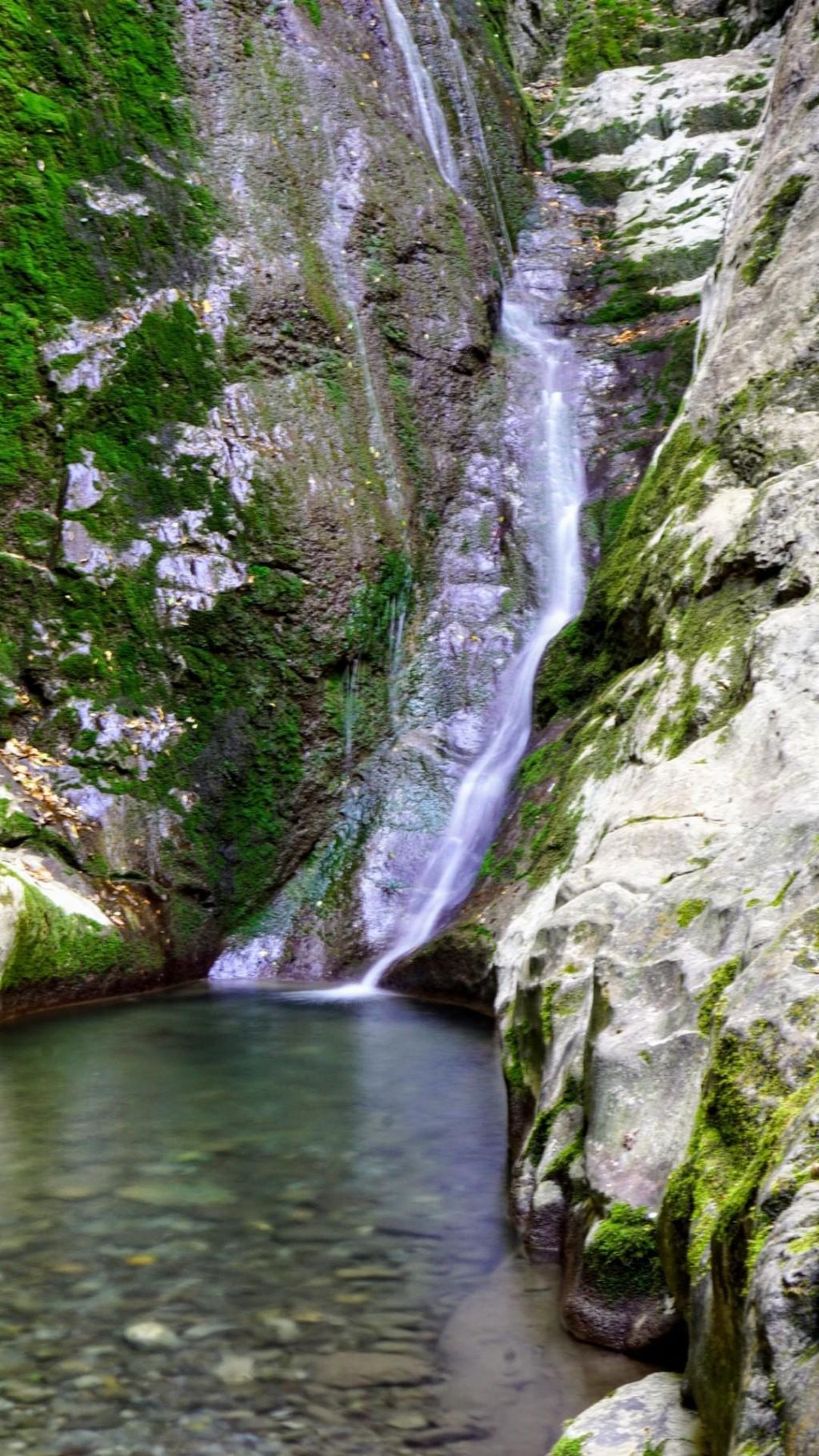
Piljski Donji Waterfall
The main destination.
Official local tourism notes place the waterfall south of Topli Do and describe the route as signposted, with easy walking and a moderate ascent.
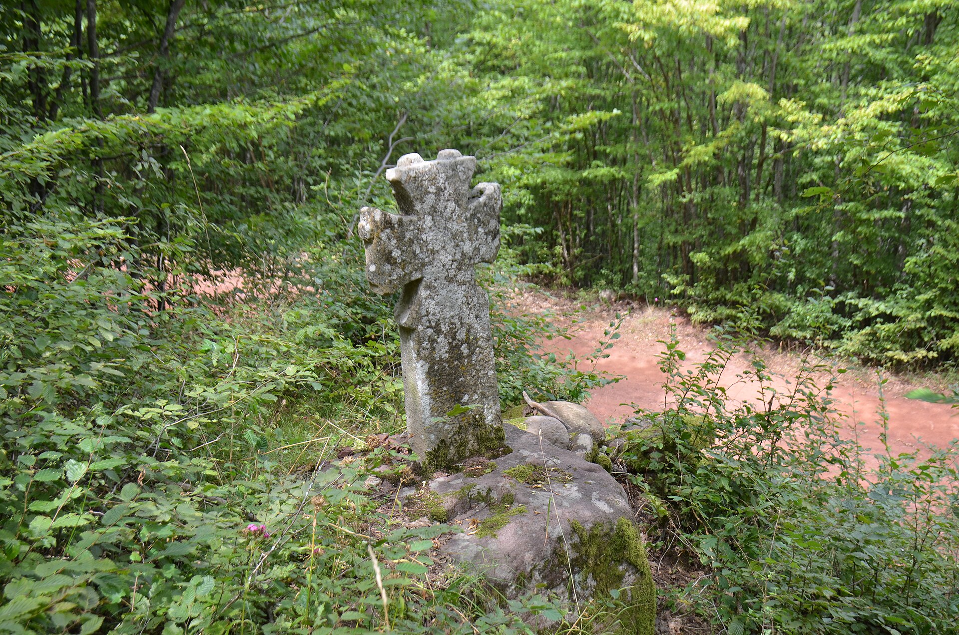
Topli Do
The practical starting point.
Topli Do is the village named in the official access description and the place from which the waterfall trail is signposted.

Tourism Organization of Pirot Pilj program
The clearest published organized option.
A separate TO Pirot day-trip program lists transport, lunch, a waterfall visit, trip guiding, and a hiking escort from Topli Do. The walking and visit window is scheduled for 10:00-15:00, the program runs April-October, and a minimum of 3 people is stated.
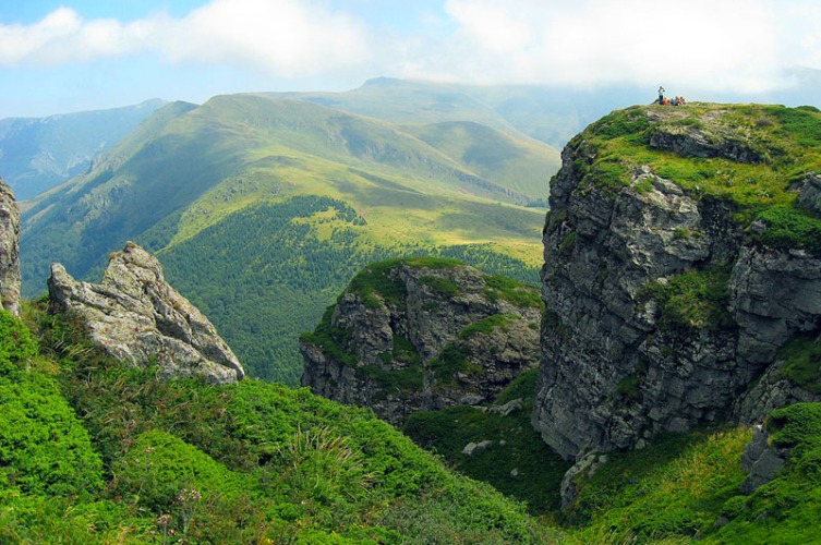
Babin Zub
A higher-altitude Stara Planina add-on.
Babin Zub is known on the mountain for ski slopes and a chairlift, making it a different kind of stop if you are extending a wider Stara Planina route beyond the waterfall walk.
About 4 km south of Topli Do, Stara Planina, Pirot area, Serbia
Topli Do
Signposted mountain walk to a high waterfall
No entrance fee published; organized program price amount not published
April-October for the published organized program; daylight visits
Not published for independent visits; minimum 3 people for TO Pirot organized program
No published on-site hours
TO Pirot: 010/320-838, top010@mts.rs
topirot.com/posts/piljski
Published access notes describe the route as signposted from Topli Do, with easy walking and a moderate ascent. No official accessibility specification is published for wheelchairs or strollers.
The published TO Pirot program runs from April to October and states a minimum of 3 people. It includes transport, lunch, trip guiding, and a hiking escort from Topli Do. The visible listing shows a price field but no amount.
Because the visit depends on a rural trail rather than a staffed site, go with walking shoes, water, and enough time to return in daylight. Ask TO Pirot to confirm current trail and road conditions if weather has changed recently.
April-October is published for the organized outing. Outside that period, no structured visit information was found in the source set.
Because several practical details are unpublished, contact TO Pirot before departure for current road access, trail condition, and organized-trip availability. Official page: topirot.com/posts/piljski.
No official on-site opening hours were found in the available sources. Plan it as a daylight outdoor visit and confirm conditions locally if needed.
Tourism Organization of Pirot places it about 4 km south of Topli Do and says the route is signposted.
Yes. TO Pirot publishes a program running April-October that includes transport, lunch, the waterfall visit, trip guiding, and a hiking escort from Topli Do, with a minimum of 3 people.
No reservation rule is published for independent visits. For the organized TO Pirot program, contact TO Pirot directly because an online booking link was not found.
No waterfall entrance price was found. The organized TO Pirot listing shows a price field, but the visible amount was not published in the source set.
Stay connected in Serbia