No postal address published; Stara Planina, City of Pirot, Serbia

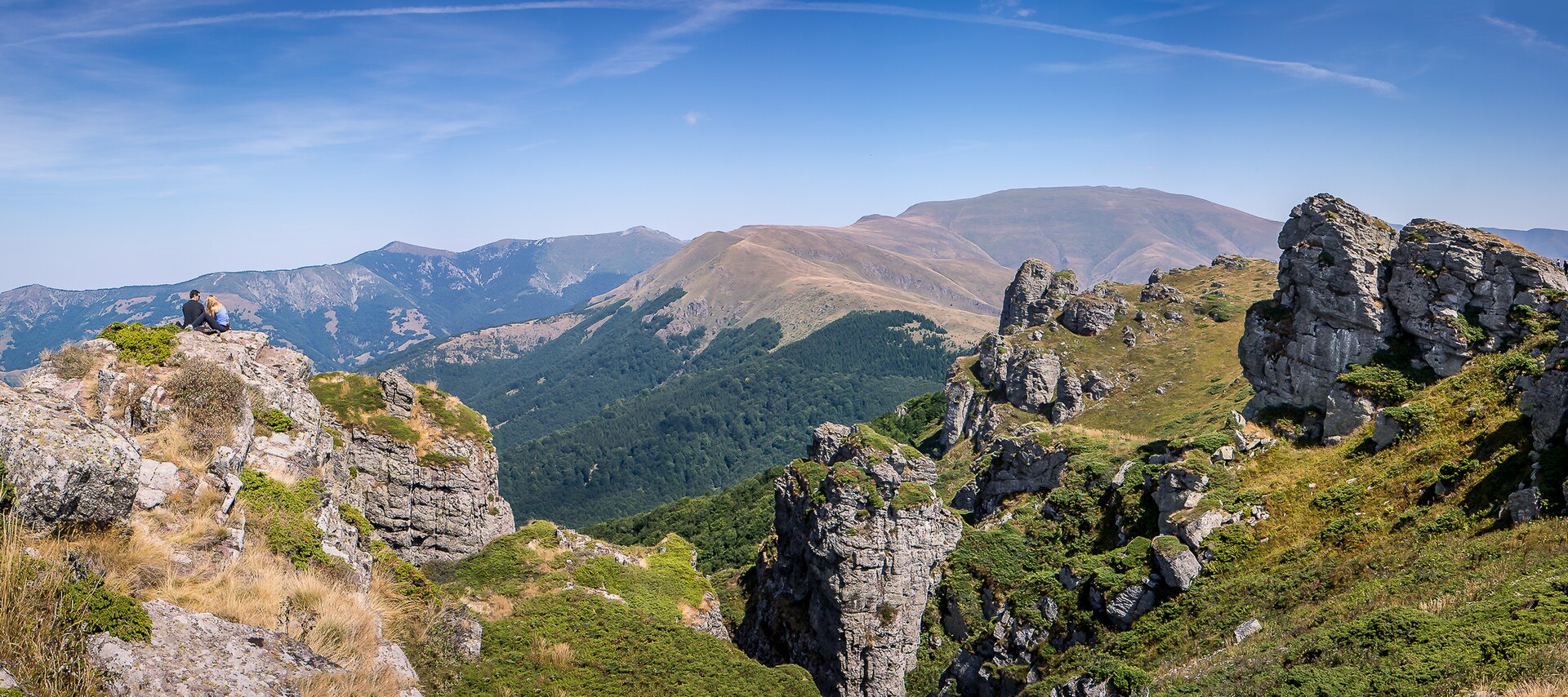
Midžor sits high on the broad crest of the Stara Planina massif, where forest gives way to open grassland and exposed mountain ground. It is not a monument or a staffed lookout, but a summit destination reached on foot, with the mountain itself providing the experience. Midžor is most associated with being the top peak of Stara Planina and with marking the frontier line with Bulgaria. The overall feel is quiet and stripped back: weather, distance and ridge scale shape the visit more than any built infrastructure.
What makes Midžor distinct is not a single viewing platform or short summit photo stop, but the character of the approach. A commonly used Babin Zub–Midžor route is described as an out-and-back of about 9.5 miles with an estimated duration of 5 h 16 min, which puts it firmly in the category of a proper mountain half-day rather than a casual walk. The appeal is the ridge itself: long, open, high and exposed, with the Serbia–Bulgaria border defining the setting. In practical terms, Midžor works best for travelers who want one focused hiking objective in eastern Serbia rather than a string of quick roadside stops.
For most international visitors, the practical base is Pirot, then the mountain approach continues toward Babin Zub. Midžor itself is not a roadside attraction with a published front gate address. The commonly referenced hike starts from the Babin Zub side, and the route is substantial enough that you should think in hours of walking rather than a short final stroll from a parking spot. A reliable last-minute check is the Pirot Tourist Office on +381 10 320 838.
Published local bus line numbers directly to the summit were not found in the source set. If you are using public transport, start by checking regional results on Serbia Transit Search, then confirm the final mountain segment locally. Taxi fares for the final approach and formal parking rules at the access point were not published, so drivers should confirm conditions in the Babin Zub area before setting out. If you drive, expect the final stage to be about road access to a trail start, not direct access to the summit.
The best hiking season published for Midžor is May to October. That does not mean every day in that window will be suitable, only that this is the broad season most commonly recommended for the route. Because no official opening hours are published, timing is really about weather and daylight. Start early enough to complete the hike comfortably in daylight, especially if you are not familiar with the terrain.
No official day-of-week guidance or reservation rules were found for self-guided visits. If you prefer extra structure, a third-party organized ascent exists, but inclusions and departures should be confirmed directly with the organizer. For independent hikers, current local conditions matter more than the calendar alone.
Expect a mountain day rather than a managed visitor site. No ticket desk, official visitor hours, published summit facilities or on-site reservation system were found for Midžor itself. The experience is defined by walking time, exposed ridge ground and changing conditions rather than by interpretation panels or services.
Wear proper hiking footwear and bring layers for wind and weather changes. Carry water, food and offline navigation, because the source set does not indicate any staffed summit amenities. In accessibility terms, Midžor should be approached as a hike for people comfortable with uneven outdoor terrain; it is not a stroller or wheelchair destination. Families with older children who already hike may find it realistic, but it is not set up as an easy casual stop.
Sources cross-checked for this guide:
Last checked: 28 July 2026. Written and reviewed by the editorial team led by Nenad, and fact-checked against the official sources listed above.

Midžor has limited official visitor publishing. These are the sources used for route basics, area context and the few operational details currently available.
Tell us where you want to go and how you travel. We reply within two working days with a tailored plan.
One commonly referenced way to hike Midžor is the Babin Zub–Midžor out-and-back. AllTrails describes it at about 9.5 miles with an estimated duration of 5 h 16 min. No official operating hours are published for the route, so hikers should plan it as a daylight outing.
No official Midžor booking platform was found, but a third-party organized ascent is advertised from 2,700 RSD to 3,300 RSD depending on membership status and whether you use your own transport. Verify inclusions, meeting point and cancellation terms directly with the organizer before paying.
Midžor lies on the Stara Planina ridge at the Serbia–Bulgaria border in the Pirot area.
These are the main named points travelers use when planning the standard Midžor outing. Information is limited, so each card notes only what is actually published or clearly established in the source set.
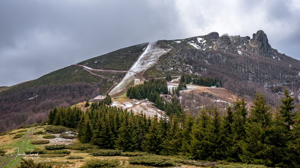
Babin Zub–Midžor route
Commonly referenced out-and-back hike from the Babin Zub side of Stara Planina.
AllTrails lists this route at about 9.5 miles with an estimated duration of 5 h 16 min, making it the clearest published reference for a standard Midžor day hike.
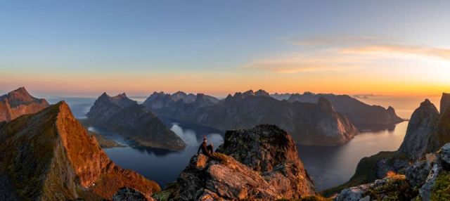
Midžor summit
The summit objective on the Serbia–Bulgaria border ridge.
Midžor is the highest peak on Stara Planina and the main goal of the route. No official summit opening hours, ticketing or visitor facilities were found.
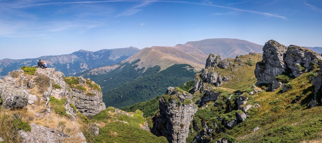
Babin Zub
The practical mountain-side approach area most often associated with Midžor hikes.
For many travelers, Babin Zub is the useful name to know when arranging transport, orientation and the start of the wider mountain outing toward Midžor.
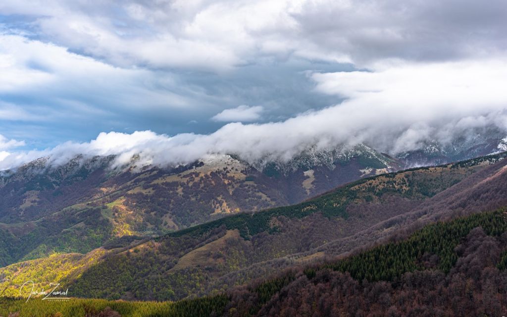
Serbia–Bulgaria border ridge
The open crest section that gives the Midžor hike its particular character.
This exposed upper ground is the reason Midžor feels different from a forest walk or short viewpoint stop. The ridge is the core of the experience.
No postal address published; Stara Planina, City of Pirot, Serbia
Babin Zub
Border ridge hiking
No published visit fee; third-party organized ascent advertised from 2,700 to 3,300 RSD
May to October
Not published for self-guided visits
Not published
Pirot Tourist Office: +381 10 320 838
The most useful published contact for current Stara Planina conditions in the source set is the Pirot Tourist Office: +381 10 320 838. Official area pages were found for Stara Planina, but no dedicated Midžor operations desk or summit hotline was published.
No official ticket price or entrance fee was found for visiting Midžor itself. If you want a structured ascent, a third-party trip is advertised from 2,700 RSD to 3,300 RSD, but transport, guide presence and other inclusions should be checked directly before booking.
Midžor should be planned as an exposed hiking objective. Start with enough daylight, carry water and layers, and avoid assuming that services will exist at the top. If conditions are uncertain, confirm locally before you leave Pirot or Babin Zub.
Yes. Midžor is identified as the highest peak on Stara Planina and sits on the border with Bulgaria.
A commonly referenced Babin Zub–Midžor route is described as an out-and-back of about 9.5 miles with an estimated duration of 5 h 16 min.
No published opening hours were found for Midžor itself. In practice, hikers should treat timing as a daylight and conditions issue rather than a ticket-office schedule.
No official reservation requirement was found for self-guided visits. If you join an organized ascent, booking rules depend on that third-party organizer.
The most useful published contact in the source set is the Pirot Tourist Office at +381 10 320 838. Conditions should be confirmed locally before setting out.
Serbian Travel can help you decide whether Midžor fits your Stara Planina route, where to base yourself and how to combine hiking days across eastern Serbia.
Stay connected in Serbia